Quick-Info
What is a LiDAR ?
LiDAR is a remote sensing technology that uses laser beams to measure distances and create detailed 3D maps of objects and environments.
It stands for Light Detection and Ranging.
By emitting laser pulses and analyzing the reflected light, LiDAR determines the range, elevation, and spatial information of various surfaces and objects.
Some use cases of LiDAR
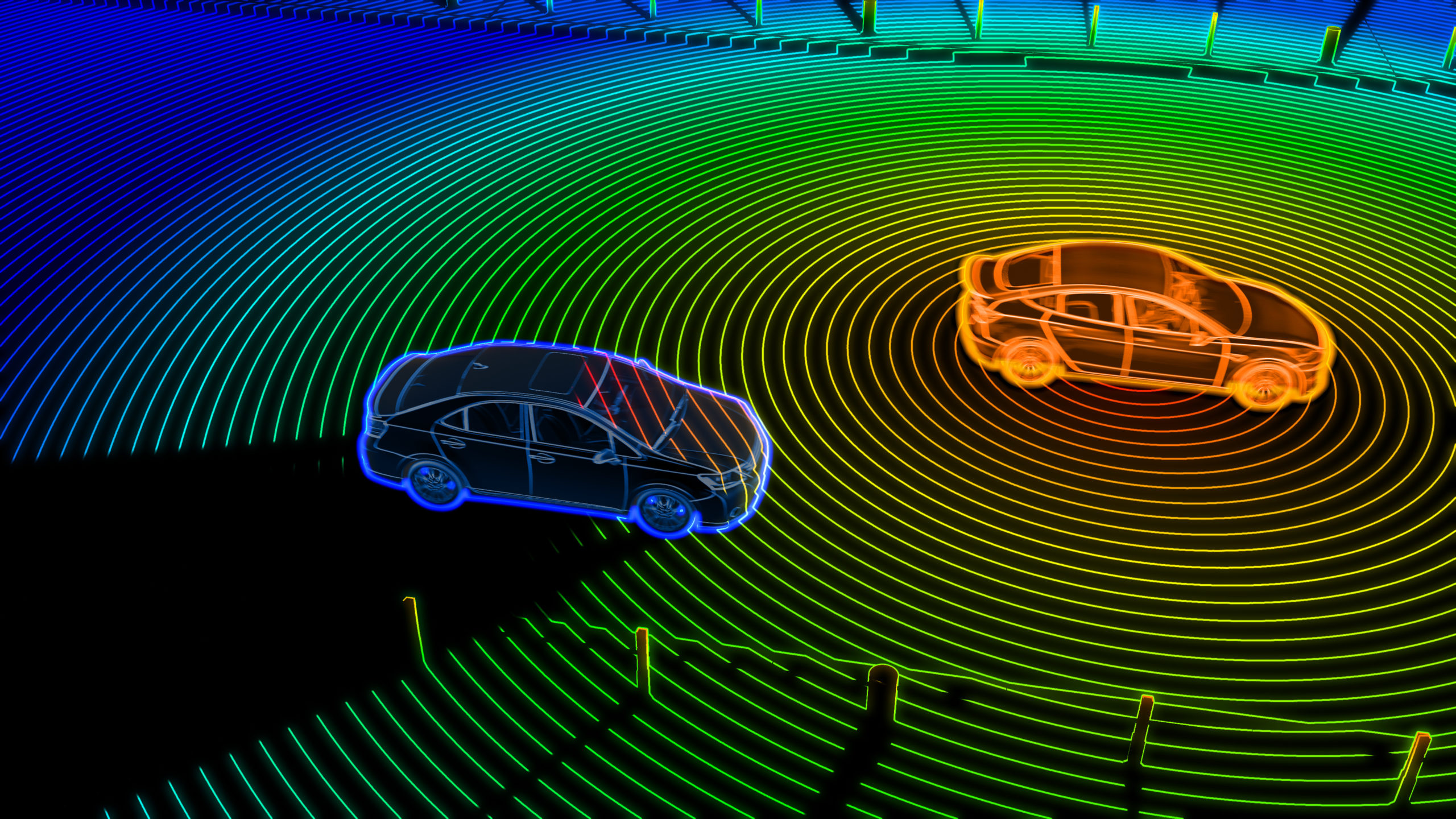
LiDAR can be used in autonomous robots/vehicules to detect and measure the distance to surrounding objects, enabling real-time obstacle avoidance and enhancing overall safety.
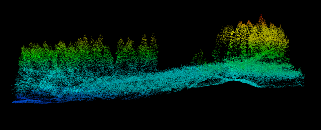
In forestry applications, LiDAR can help create detailed and precise 3D maps of forests, enabling efficient forest management strategies, including monitoring tree growth and health, assessing fire risks, and optimizing logging operations.
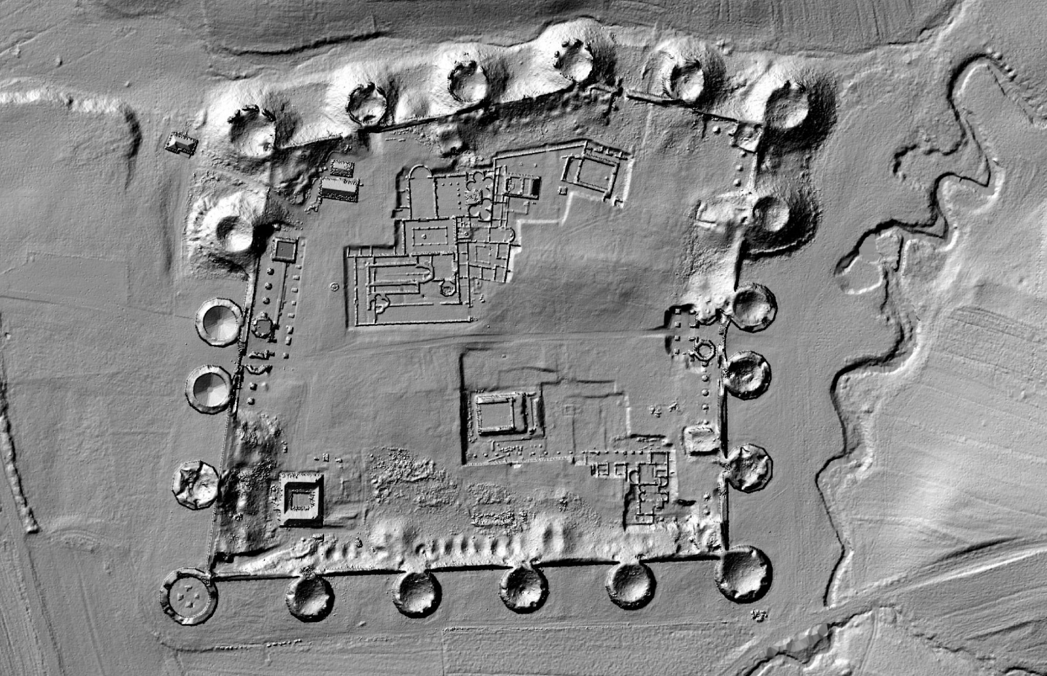
LiDAR scanning can aid in archaeological excavations, allowing researchers to non-invasively create 3D models of sites, helping with documentation, preservation, and analysis of cultural heritage, artifacts, and structures.